
Advanced Aerial Mapping Data Processing
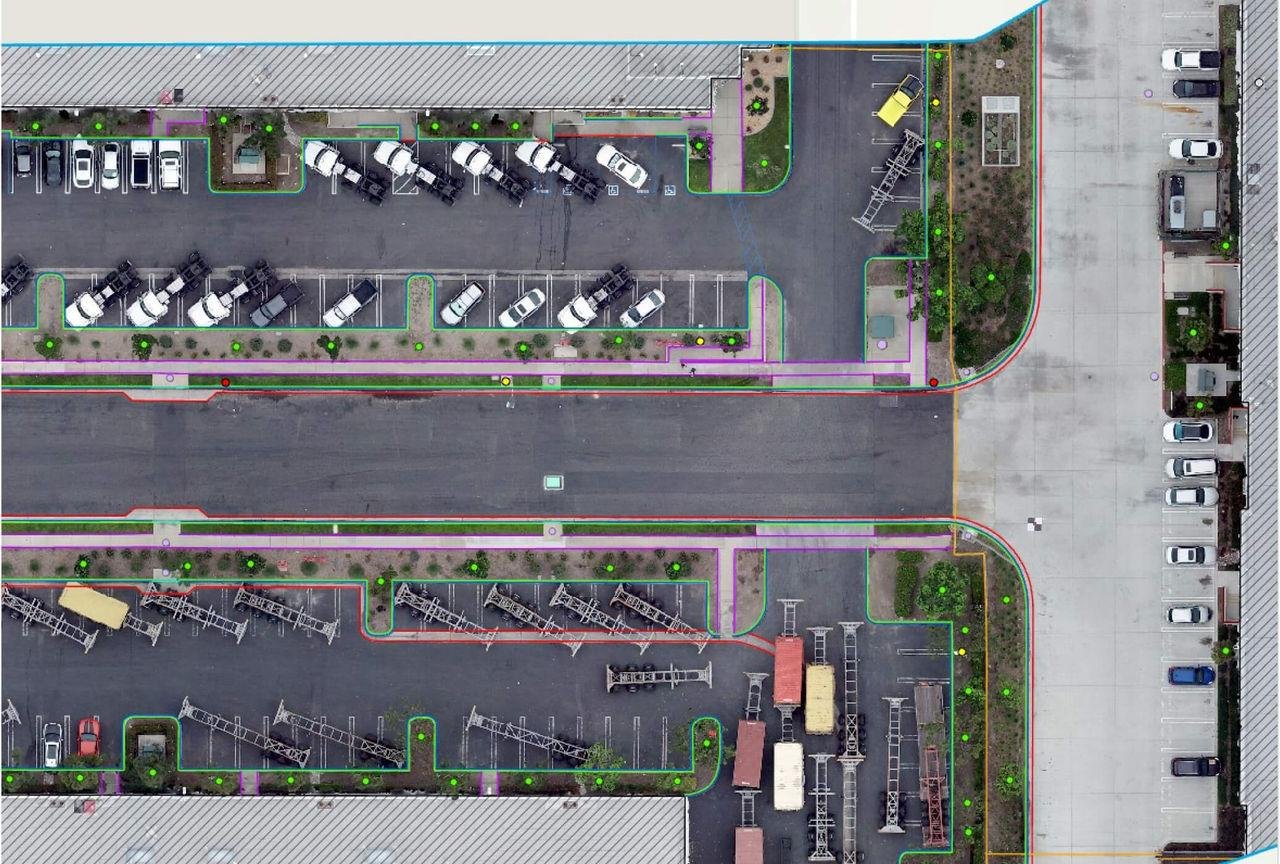
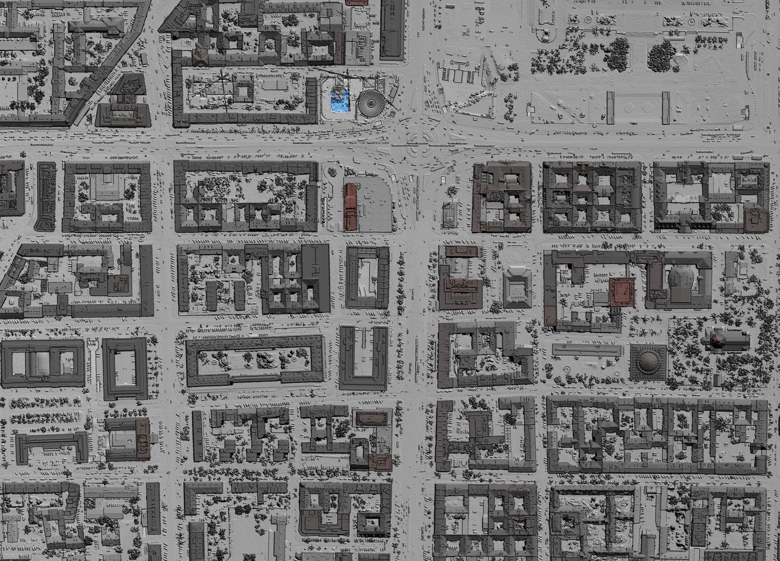
Aerial Mapping Data Processing converts raw aerial survey data into accurate geospatial products used for mapping, planning, and analysis. Using drone and aerial imagery, this process generates high-resolution outputs such as orthomosaics, digital elevation models, and georeferenced maps for various industries.
At HydroMarine Geophysics, we provide professional aerial mapping data processing services using advanced software and proven workflows. Our team ensures precise data alignment, correction, and georeferencing to deliver reliable outputs for engineering, GIS, and infrastructure projects.
Our Aerial Mapping Capabilities
We deliver high-quality orthomosaic maps, elevation models (DSM/DTM), contour mapping, and geospatial data integration. Our solutions support accurate site analysis, planning, and decision-making for large-scale projects.
Start Your Aerial Mapping Project Today
Accurate Data Processing for Better Insights
We provide reliable aerial mapping data processing services tailored to your project needs. From raw aerial data to final geospatial outputs, our team ensures precision, quality, and fast turnaround.
Whether you require orthomosaic maps, elevation models, or GIS-ready data, HydroMarine Geophysics delivers accurate solutions that support planning, design, and project execution.
Contact Us
HydroMarine Geophysics
We provide professional geophysical data processing and interpretation services worldwide. Contact us today to discuss your project requirements.
Address:
1 Albert Embankment,
London, SE1 7XQ, UK
Phone:
+44 02045478801 / 07440309646
Email:
info@hydromarinegeophysics.com
contact@hydromarine.com
Our Project Outputs

Orthomosaic Mapping
High Resolution Maps
Elevation Models
DSM / DTM Data
Contour Mapping
Accurate Terrain Analysis
GIS Integration
Ready for GIS Platforms